Arecibo lighthouse

Arecibo, Puerto Rico

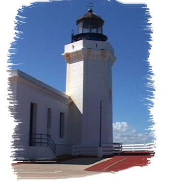
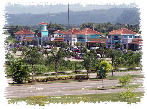
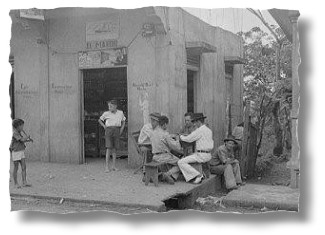
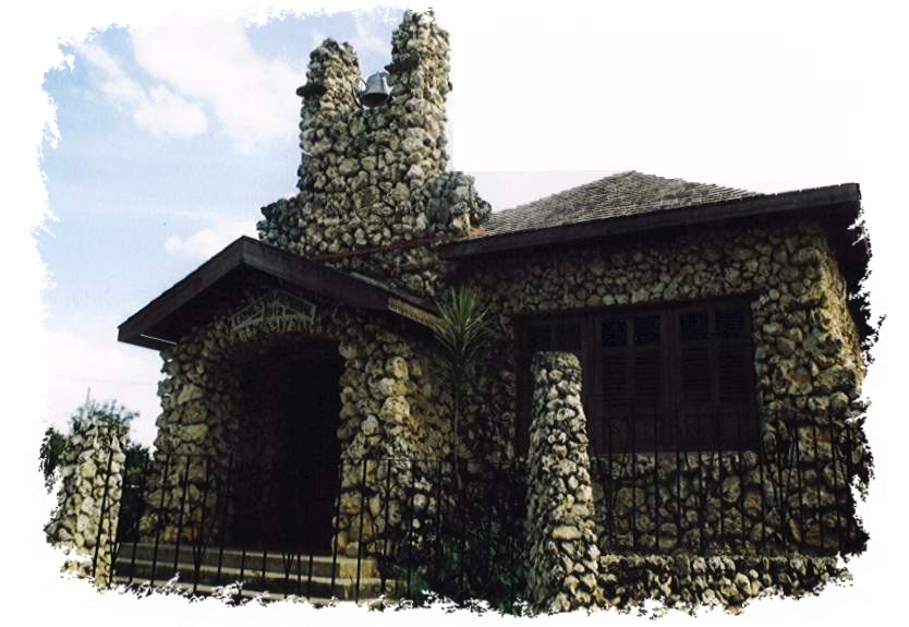
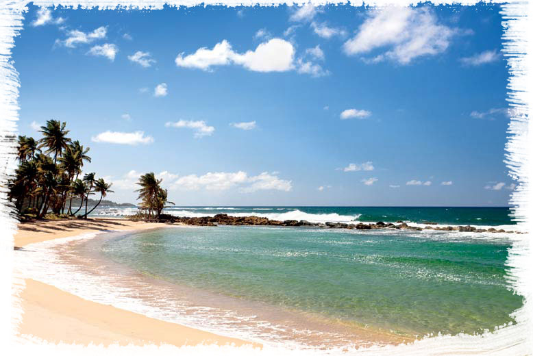
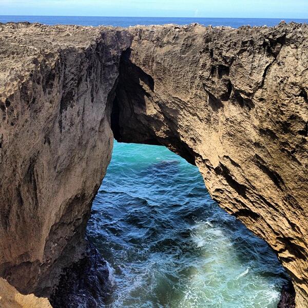
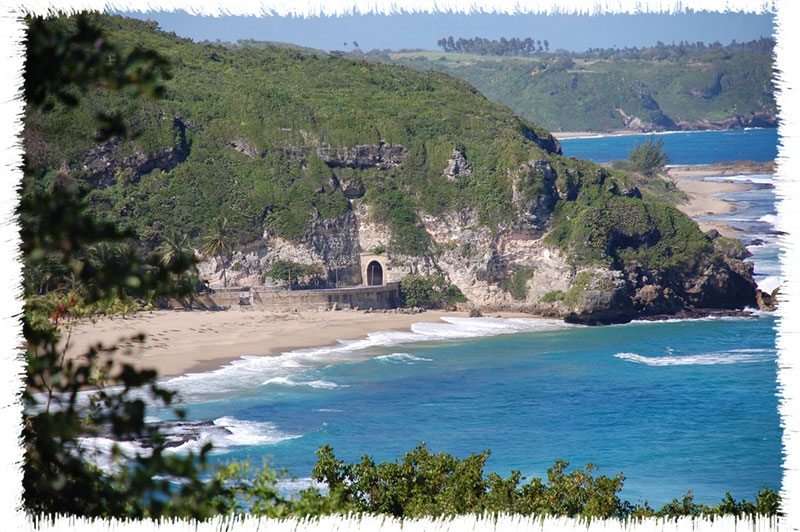
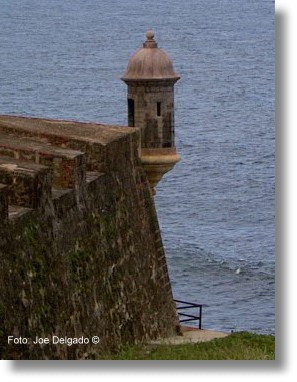
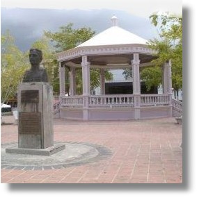
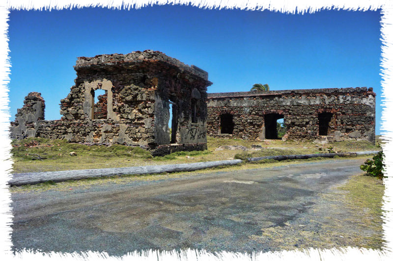
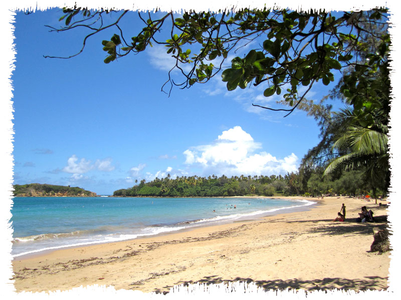
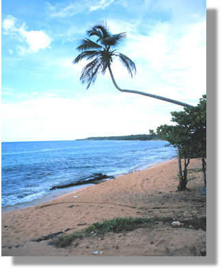
Arecibo, Puerto Rico Captain Correa Villa Arecibo (ah-re-SEE-boh) is known as “La Villa del Capitán Correa” (“The Town of Captain Correa”) in honor of the heroic deeds of Antonio de los Reyes Correa, who defended the town of Arecibo from an English attack in 1702. The Spanish Crown decorated him with the Medal of the Royal Effigy and promoted him to captain. The municipality is located on the northern coast of Puerto Rico, bordering the Atlantic Ocean. The people of Arecibo, known as arecibeños, celebrate several festivals throughout the year, including the patron saint festivities in honor of the Apostle Saint Philip in April and the Arecibo Carnival in...

Barceloneta

Barceloneta, Puerto Rico

Barceloneta, Puerto Rico Industrial City Barceloneta is known as “The Industrial City” and “The Home Town of Sixto Escobar.” The Patron Saint is Our Lady of Mount Carmel and the festival in her honor is celebrated in July. Barceloneta is rich in tradition and boasts an extensive literary and musical folklore. Its trovadores and improvisadores (traditional folk singers and improvisers) perform a ten-line verse form called décimas campesinas, religious or patriotic themes being the most popular. Barceloneta is located on the north central coast of the Island. It is bordered on the north by the Atlantic Ocean, on the south by the municipality of Florida, on the east by...

bayamon marino

Bayamón, Puerto Rico

Bayamón, Puerto Rico Pork Ring City Bayamón (bah-yah-MON) is known as the “Pork Rind City.” Its patron saint is the Holy Cross, and the town festival is celebrated from late April to early May. The municipality’s economy is mainly based on commerce, manufacturing, and services, making it an important urban center in the San Juan metropolitan area. The municipality is located in the north-central region of Puerto Rico and borders Toa Baja and Cataño to the north, Aguas Buenas and Comerío to the south, Guaynabo to the east, and Naranjito, Toa Alta, and Toa Baja to the west. Bayamón has a network of important rivers, including the Bayamón, Minillas,...

camuy piedra

Camuy, Puerto Rico

Camuy, Puerto Rico Romantic City Camuy (kahm-WEE) is known as the “Romantic City”, the “Sandwalkers” City” and the “City of the Taino Sun”. The patron saint is Saint Joseph and the patron saint’s festival is celebrated in March. The municipality is in the northern central area of Puerto Rico and is bordered on the north by the Atlantic Ocean, on the south by Lares and San Sebastián, on the east by the municipality of Hatillo, and on the west by Quebradillas. It is located in the northern coastal plain, but comprises undulations known as the “llano de Quebradillas”. Historically the economy of Camuy has depended on agriculture, notably sugar...

barcardi

Cataño, Puerto Rico

Cataño, Puerto Rico The Town that Refused to Die Cataño (kah-TAH-no) is known as the “antechamber of the capital”, “the town that refused to die”, “the forgotten town”, “the crab catchers’ town”, and “the ferry-riders’ town”. It's the smallest town in Puerto Rico. The patron saint’s festival is held in honor of Our Lady of Mount Carmel. Cataño is located on the north coast of Puerto Rico, on the shores of the San Juan harbor and is bordered on the north and east by the Atlantic Ocean; by Toa Baja on the north and west; and by Guaynabo and Bayamón on the south. The terrain is low-lying and flat...

corozal palma

Corozal, Puerto Rico

Corozal, Puerto Rico The Birthplace of Volleyball Corozal (ko-ro-ZAHL) residents are known as known as “The plantain farmers,” because of the huge numbers of plantains planted in the mountains of the municipality. The municipality is also called the “birthplace of volleyball” and the “Capital of the Center of the Island”. Corozal’s patron saint festival honors the Holy Family and is held in the month of January. The town also has a Plantain Festival. Corozal is located in the west central region of the island, close to the north coast. It is bordered on the north by Vega Alta and Toa Alta, on the south by Orocovis, Barranquitas and Naranjito,...

dorado playa

Dorado, Puerto Rico

Dorado, Puerto Rico Golden City Dorado (do-RAH-do) is known as the “cleanest town in Puerto Rico” and the “golden city”. The patron saint is Saint Anthony of Padua. The town of Dorado is located on the north coast of Puerto Rico. It is bordered on the north by the Atlantic Ocean, on the south by Toa Alta, on the east by Toa Baja, and on the west by Vega Alta. The hydrographic system of the town is comprised of the La Plata River (formerly called the Toa) and its tributaries, the Cocal, Nuevo and Lajas rivers. There are red, black, and white mangroves at the mouths of these rivers....

florida pina

Florida, Puerto Rico

Florida, Puerto Rico City of The Cayenalisa Pineapple Florida (flo-REE-dah) is known as the “Tierra del Río Encantado,” the “Tierra de los Mogotes,” and the “Pueblo de la Piña Cayenalisa”. . Florida is the only municipality composed of one single barrio, Florida Adentro. Its patron saint is Nuestra Señora de la Merced , whose festival is held during the last week of September. Florida is located between the northern coast of the island and the Cordillera Central mountain range. The municipality lies north of Ciales, south of Barceloneta, east of Arecibo and west of Manatí....

guaynabo centro bellas artes

Guaynabo, Puerto Rico

Guaynabo, Puerto Rico Puerto Rico's First Settlement Guaynabo (gwei-NAH-bo) is known as the “first settlement of Puerto Rico,” “the city of the conquistadors,” “the capital of sports,” “the ruins of Caparra,” and “the town of the Mabó Carnival.” Its patron saint is Saint Peter Martyr of Verona. This municipality is located on the northern coast of the island. It is bordered to the north by the town of Cataño and the San Juan Bay; to the south by Aguas Buenas; to the east by San Juan; and to the west by Bayamón. The terrain is mostly flat and humid. The relief of its territory can be divided into three...

hatillo mascarita

Hatillo, Puerto Rico

Hatillo, Puerto Rico Milk Industry Capital Hatillo (ah-TEE-yo) is known as the “Milk Industry Capital”, “Hatillo of our Hearts”, the “Land of the Green Fields”, the “Town with no Soup” and “The Ranchers” Town”. The annual patron saint’s festival is dedicated to Our Lady of Mount Carmel. The town also celebrates the traditional Day of the Masks, on December 28th, the Day of the Holy Innocents. Hatillo is located in northwest, north coast of Puerto Rico. Its bordered by the Atlantic Ocean on the north, the town of Utuado on the south, Arecibo on the east, Camuy on the west, and briefly bordered by Lares on the southwest. The...

isabela pozo

Isabela, Puerto Rico

Isabela, Puerto Rico The Northwestern Garden Isabela (ee-sah-BAI-lah) is known as “the garden of the northwest”, "los gaillos" (the young roosters) and “the town of quesitos de hoja” (traditional Puerto Rican white string cheese). The patron saint of Isabela is Saint Anthony of Padua. The town of Isabela is in the northern coastal plains. It is bordered on the north by the Atlantic Ocean, on the south by the town of San Sebastián, on the east by Quebradillas, and on the west by Aguadilla and Moca. The southern region is rimmed by the Aymamón Mountains, which are an extension of the Jaicoa range. Karst topography features include towers, sinkholes,...

manati 1941

Manatí, Puerto Rico

Manatí, Puerto Rico Metropolitan City Manatí (mah-nah-TEE) is known as the “Athens of Puerto Rico,” an appellation that arose from the development of the town as a cultural center during the first decades of the 20th century. Manatí is located on the north coast of Puerto Rico. Is bordered on the north by the Atlantic Ocean, on the south by Ciales and Morovis; on the east by Vega Baja; and on the west by Barceloneta and Florida. The town is in the northern coastal plain and the karst area, the latter including may caves, haystack and sinkhole formations. Manatí has many beaches, the most famous of which are Mar...

morovis cueva

Morovis, Puerto Rico

Morovis, Puerto Rico The Island Except Morovis Morovis (mo-RO-vis) is known as the Island Except Morovi. The phrase used is originated in a cholera epidemic that devastated Puerto Rico in 1853. Historical records show that Morovis was the only municipality where no cases were reported, and every time the topic was mentioned people would say “All of the island, except Morovis”. Our Lady of Mount Carmel is the patron saint, and the festival in her honor is held in July. Morovis is located in the northern part of Puerto Rico. The municipality is located in the humid northern hills, and the northernmost part of the territory is located in...

quebradilla guajataca

Quebradillas, Puerto Rico

Quebradillas, Puerto Rico The Pirate’s Hideout Quebradillas (ke-brah-DEE-yahs) is known as “the pirate’s hideout” or “the pirate city,” “the cooperative city,” and “Guajataca corner”. The municipality is located on the north coast of the island. The patron saint’s day festival is dedicated to Saint Raphael the Archangel, and is celebrated on the days around the Saint’s Day, October 24. Tourist attractions include the El Guajataca Hotel, a theme park, and Guajataca Lake, where there is sports fishing. Quebradillas is located on the north coast of the island. The town is bordered on the north by the Atlantic Ocean, on the south by Guajataca Lake (San Sebastián), on the east...

riopiedras universidad

Río Piedras, Puerto Rico

Río Piedras, Puerto Rico University City Río Piedras has left indelible marks on the modern history of Puerto Rico. This former municipality, now a part of San Juan, has played an important role in the development of the island’s transportation, education and commerce. The growth of Río Piedras is related to its strategic position. Because of its nearness to the capital, the region became the main supplier of food and potable water for San Juan. However, the development of the urban center was slow, as the first settlers in the region were plantation and ranch owners who had no interest or need to establish an urban nucleus. The economic,...

San Juan, Puerto Rico

San Juan, Puerto Rico

San Juan, Puerto Rico The Fortified City San Juan (sahn HWAHN) is known as “the Walled City,” “Capital City,” “City of Tiles,” and “Colonial City.” Its residents are called “capitalinos” and “senadores,” the latter in reference to its historic professional baseball team in the Roberto Clemente Professional Baseball League. The city is located on Puerto Rico’s northern coast and serves as the political, economic, and cultural capital of the Island. The old section of San Juan, known as Old San Juan, is recognized as a historic and cultural center, notable for its military defense architecture built between the 16th and 18th centuries. Its geographic features are enhanced by a...

san sebastian

San Sebastián, Puerto Rico

San Sebastián, Puerto Rico St. Sebastián Del Pepino San Sebastián (sahn se-bahs-tee-AHN) most widely nicknamed “San Sebastián del Pepino”, are also called “the hammock town”. The townspeople are known as pepinianos and patrulleros (patrollers). The patron saint is Saint Sebastian, the Martyr. San Sebastián is located in the central mountain range of Puerto Rico. Is bordered on the north by Isabela and Quebradillas, on the east by Lares, on the south by Las Marías, and on the west by Moca and Añasco. The town lies in the geographical region of the humid northern hills. The mountainous topography includes elevations between 100 and 300 meters (330 to 985 feet) above...

Cascada Yolanda

Toa Alta, Puerto Rico

Toa Alta, Puerto Rico City of the Toa Toa Alta (TO-ah AHL-tah) is known as the “Toa City,” the “Cradle of Poets” and the “City of Josco.” The Toa part of the name comes from the name the Tainos gave to La Plata River. The word means “mother” in the Taino language and was frequently spelled “Thoa.” The patron saints of the municipality are San Fernando Rey and Nuestra Señora de la Concepción. The municipality is bordered on the north by the municipalities of Dorado and Toa Baja, on the east by the municipality of Bayamón, on the south by Naranjito and on the west by Vega Alta and...

Leprosario - Isla de Cabras

Toa Baja, Puerto Rico

Toa Baja, Puerto Rico Valleys of the Toa City Toa Baja (TO-ah BAH-hah) is affectionately known as the “City of the Toa Valleys”, the “Underwater City”, and the “People of the Plains”. Its patron saint is San Pedro Apóstol. Located on the northern coast of Puerto Rico, Toa Baja is bordered by the Atlantic Ocean to the north, Dorado to the west, Toa Alta to the south, and Cataño and Bayamón to the east. The municipality covers an area of 62.4 square kilometers (24.0 square miles) and is characterized by fertile plains, wooded hills typical of the karst region, and a rich network of rivers and streams. The La...

Playa Cerro Gordo, Vega Alta

Vega Alta, Puerto Rico

Vega Alta, Puerto Rico Town of Squaters Vega Alta (VAI-gah AHL-tah) is known as the “Squatters Town” and its residents are called the “Pottery Makers.” According to popular history, the “Squatters Town” nickname comes from the habit of sugar cane workers to resting in a squatting position while waiting for the train that carried the cane, because the station did not have any seats. Vega Alta is located on the north coast of Puerto Rico. It is bordered on the north by the Atlantic Ocean, on the south by Morovis and Corozal, on the east by Dorado and Toa Alta and on the west by Vega Baja. The municipality...

vega baja

Vega Baja, Puerto Rico

Vega Baja, Puerto Rico City of “Syrup” Vega Baja (VAI-gah BAH-hah) is known as the “City of Melao Melao,” which refers to its past of growing sugar cane. It is also known as the “City of Orange Groves” because oranges were the most commonly grown fruit in the town. The patron saint is Nuestra Señora del Rosario. The municipality is located in the central part of the north coast of Puerto Rico. Is bordered on the north by the Atlantic Ocean, on the south by Morovis, on the west by Manatí and on the east by Vega Alta. It is located in the northern coastal plain and the karst...

You May Also Like